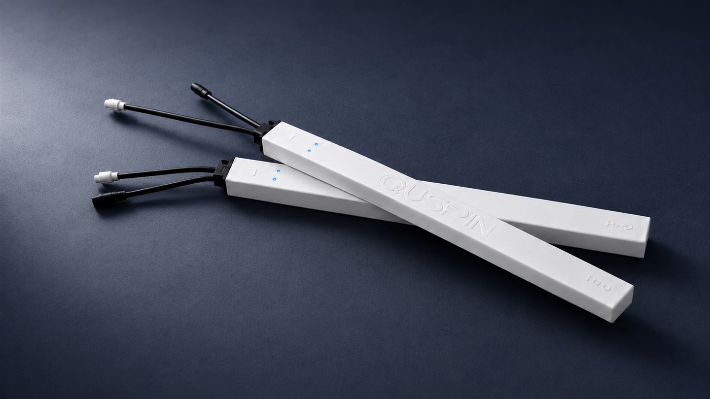
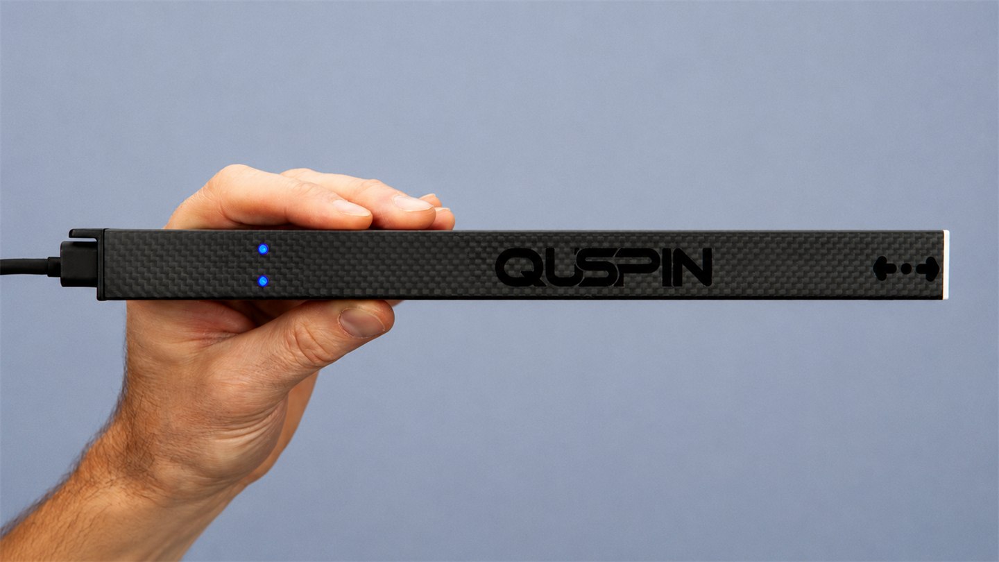
A fully integrated, ready-to-fly magnetic-survey platform built around the QTFM Gen‑2 atomic magnetometer—GPS, 9‑axis IMU, data logger, and wireless connectivity in one ultra-lightweight unit. Start collecting high-quality data within minutes.

Magpie uses the high-performance QTFM Gen‑2 atomic magnetometer and is suited to many geophysical and environmental surveys. For outdoor work, the built-in GPS, IMU, and logger make it easy to collect magnetic data on UAVs or other moving platforms without any integration effort.
The onboard vector mode and IMU provide accurate orientation information for removing heading error from both the sensor and the platform. Heading error compensation →
Because everything is fully integrated, Magpie can be deployed within minutes for geological mapping, mineral exploration, archaeology, UXO searches, and other field applications that require high-quality magnetic data.
Synchronization. Multiple Magpie units can be connected for synchronous operation, to account for cross-sensor interference. See the synchronization guide.
Ships freely to Europe, Japan, Australia, Canada, and many other countries. China, India, and Russia require a DOC license (typical approval 8–12 weeks).
Magpie units based on the QTFM‑B variant (under 20 pT/√Hz) ship freely to almost all countries without a license.
Quick start video available on the original Magpie page · Built on the QTFM Gen‑2 sensor